PAGASA Releases Latest Weather Update for Today (March 28)
LATEST WEATHER UPDATE – The state weather bureau PAGASA reported that the trough of a low-pressure area would bring rain over parts of the Philippines.
On Saturday (March 28, 2020), the Philippine Atmospheric, Geophysical, and Astronomical Services Administration released the latest weather updates in the country. PAGASA said that the low-pressure area would continue to affect the country’s weather conditions.
The low-pressure area’s trough would bring cloudy weather conditions with isolated rainshowers or thunderstorms over South Cotabato and Sarangani. Flashfloods and landslides are possible in these areas during severe thunderstorms.
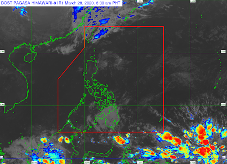
The easterlies are expected to bring partly cloudy to cloudy weather conditions with isolated rainshowers over provinces of Batanes, Cagayan, Isabela, Quirino, Nueva Vizcaya, Aurora, Abra, Benguet, Ifugao, Mt. Province, Kalinga, Apayao, Ilocos Norte, Ilocos Sur, La Union, and Pangasinan.
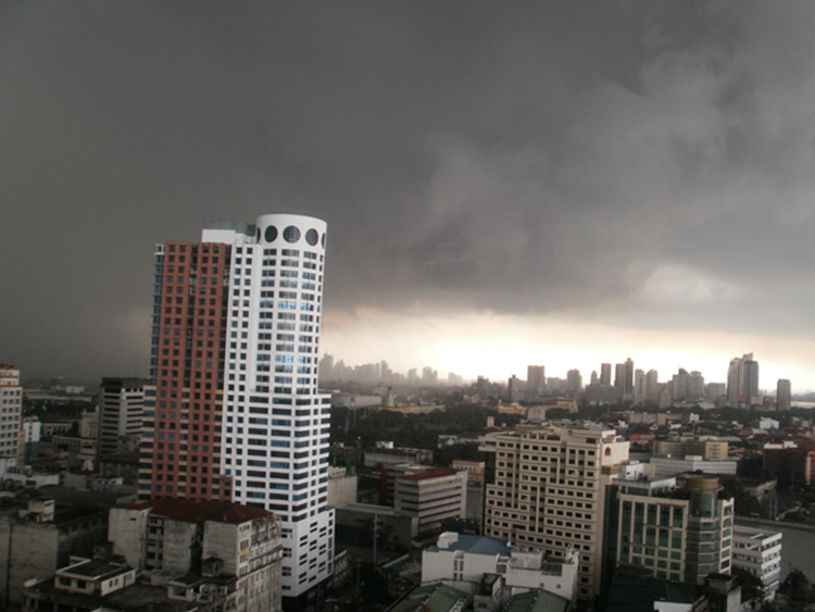
The same weather condition is also expected over Metro Manila and the remaining parts of the country. These areas are also expected to experience localized thunderstorms with the possibility of flash floods or landslides.
Meanwhile, the coastal water conditions over the northern and eastern sections of northern Luzon would be moderate to rough. The surrounding sea conditions over the rest of the country would be slight to moderate, according to the weather bureau.
What can you say about this? Just feel free to leave your comments and reactions to this article.
Read Also: PAGASA – Latest Weather Update This March 27, 2020