Low-Pressure Area To Bring Cloudy Skies & Rains Over Parts of Philippines, PAGASA Says
LATEST WEATHER UPDATES – The state weather bureau PAGASA reported that a low-pressure area to bring rains over parts of the Philippines.
On Saturday (March 7, 2020), the Philippine Atmospheric, Geophysical, and Astronomical Services Administration released the latest weather updates in the country. The low-pressure area would affect the country’s weather conditions this weekend.
PAGASA reported that the low-pressure area is located 30 kilometers West Northwest of Zamboanga City, Zamboanga del Sur. The LPA would bring cloudy conditions with scattered rain showers and thunderstorms over the Visayas, Caraga region and the Zamboanga Peninsula.
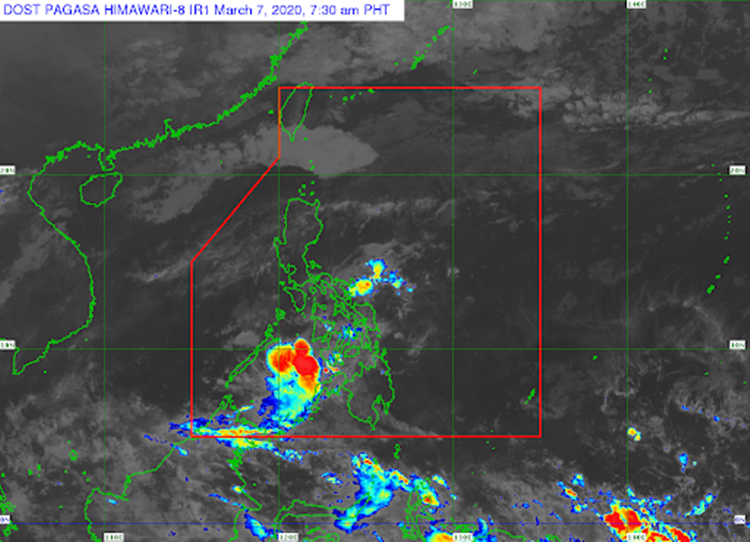
The Tail End of a Cold Front would bring cloudy weather conditions with scattered rain showers and thunderstorms over Bicol Region with the provinces of Quezon, Marinduque, and Romblon.
The northeast monsoon or locally known as “Amihan” is expected to bring cloudy skies with light rains over Batanes and Babuyan Group of Islands. It would also bring isolated light rains over Metro Manila and the remaining parts of Luzon.
The localized thunderstorms would bring partly cloudy to cloudy conditions with isolated light rains over the rest of the country.
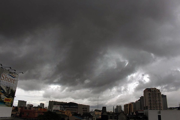
The weather agency also warned the residents in the affected area to take precautionary measures for possible flash floods and landslides during heavy rains.
Meanwhile, the coastal water conditions over the northern Luzon would be moderate to rough. Moderate water conditions are also expected over the rest of Luzon, Visayas, and Mindanao, according to the weather bureau.
What can you say about this? Just feel free to leave your comments and reactions to this article.