PAGASA Announces Low-Pressure Area That Was Expected To Intensify Into Storm Enters PAR
The state weather bureau PAGASA said that the low-pressure area that may intensify into a storm has already entered the country’s vicinity.
On Monday (November 12, 2018), the Philippine Atmospheric, Geophysical and Astronomical Services Administration (PAGASA) released the latest weather updates in the country.
PAGASA reported that the low-pressure area they are monitoring has already entered the Philippine Area of Responsibility (PAR).
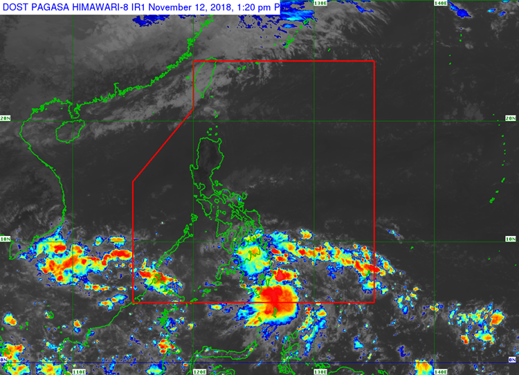
The weather disturbance was last spotted 290 km East of General Santos City and expected to hit land in Mindanao.
The LPA was expected to intensify into a tropical depression and be locally named “Samuel”, the 19th storm to hit the Philippines.
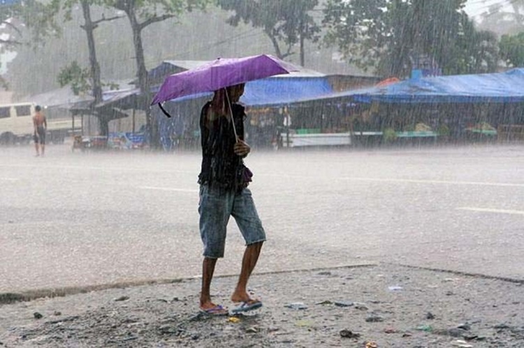
Its trough would bring cloudy weather conditions with scattered rain and thunderstorms over eastern Visayas and Mindanao.
Meanwhile, the northeast monsoon or “Amihan” would bring fair weather with chances of isolated rain over Metro Manila and the rest of the country.
What can you say about the weather update? Just feel free to leave your comments and reactions to this article.