The Philippine Atmospheric, Geophysical and Astronomical Services Administration (PAGASA) confirmed to the media that the Low Pressure Area (LPA) near Catanduanes has developed into a tropical depression and was locally named Bagyong “Egay.” The Tropical Depression Egay was last observed 520 kilometers east of Virac, Catanduanes.
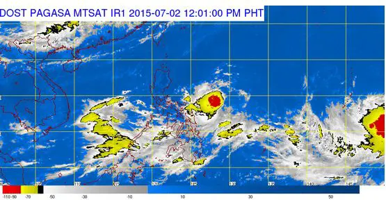
Bagyong Egasy was packed with maximum winds of 45 kilometers per hour near the center, and was moving north northwest at 5 kph. According to PAGASA, the tropical depression would pull the southwest monsoon (Habagat) and dump moderate to heavy rain within its 300-km diameter.
Although PAGASA already made a forecasts with the coming weather disturbance, the tropical depression is still too far to affect any part of the country.
PAGASA also advised to avoid the eastern seaboard of the Bicol and Easter Visayan regions. The weather bureau forecasts that Bagyong Egay could move closer towards Northern Luzon but it’s not likely to make a landfall in the country.
Aside from Tropical Depression Egay, PAGASA is also tracking a severe tropical storm and a low pressure area outside the Philippine Area of Resonsibility. Tropical Storm Chan-hom (international name) was last located 3,090 kilometers east of Visayas, while the LPA was 2,275 kilometers east of Mindanao.