The Bagyong Inday is set to exit the Philippine Area of Responsibility (PAR) on Thursday, July 31, 2014, but PAGASA noted that there’s a possibility of a new storm to enter the Philippines in the next few days after Bagyong Inday. JTWC already noted that a storm with international name Halong is currently spotted in Guam.
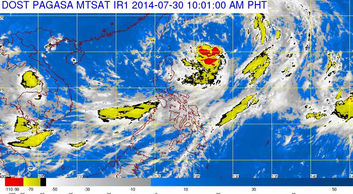
PAGASA noted that Bagyong Inday was spotted at 620 kilometers east of Basco, Batanes as of 10:00 AM weather bulletin released by PAGASA. Bagyong Inday was still packing a maximum winds of 55 kilometers per hour near the center.
The tropical depression Inday was now moving north northwest at 19 kph, according to PAGASA at his rate, Bagyong Inday will be at 410 kilometers northeast of Basco, Batanes by Thursday morning and outside the Philippines later in the evening.
Although Bagyong Inday did make a landfall in the Philippines, the weather disturbance enhance the southwest monsoon (habagat) resulting to occasional rains over Metro Manila, MIMAROPA, CALABARZOn, Bicol Region, Cagayan Valley, and the provinces of Bataan and Zambales.
Bagyong Inday will leave the Philippines according to PAGASA but the Joint Typhoon Center (JTWC) warned the Philippines that another storm will probably hit the country. The cyclone was spotted outside PAR at the vicinity of Guam, the cylone with international name Halong, was packing 1-minute maximum sustained winds of 55 knots (101 kph) as of 8:00 AM today, (PST).
Although the JTWC already made a forecasts, however, they suggests that the storm will not move towards the Philippines. Once the storm changed it path and hit the Philippines it will be named as “Bagyong Juan.”